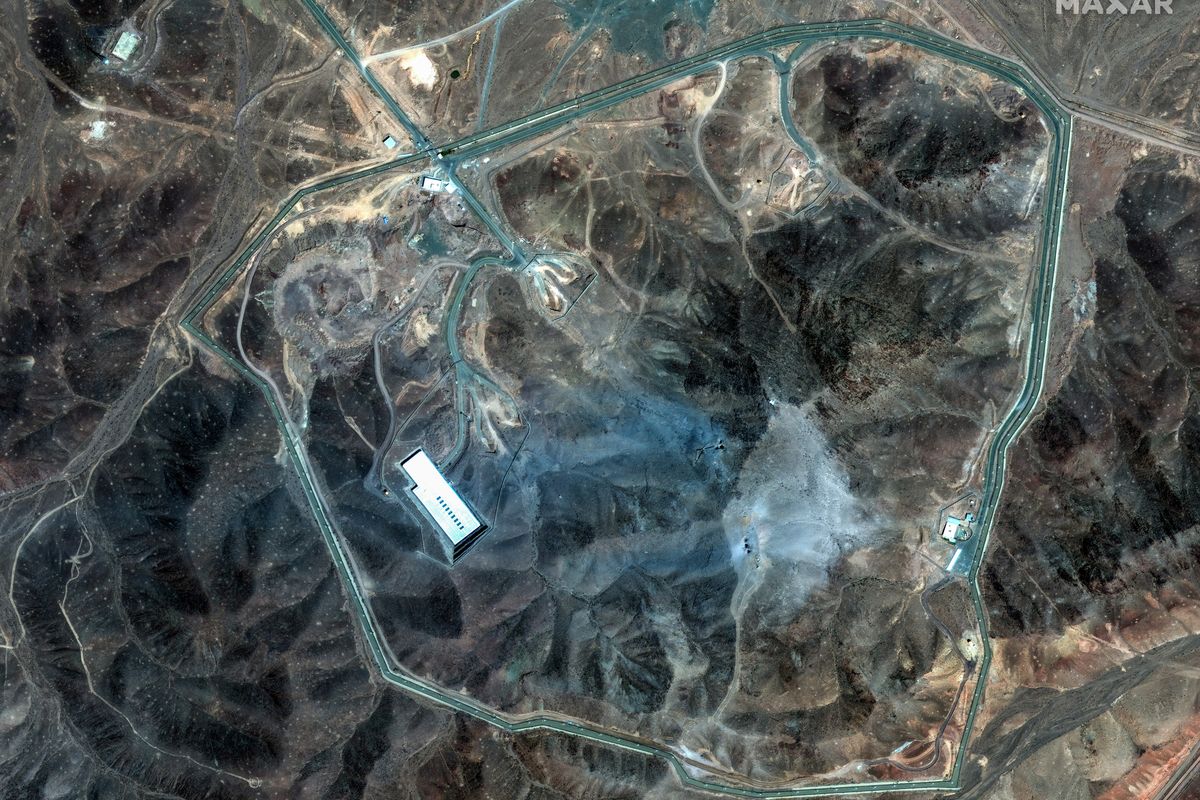

The National Geospatial-Intelligence Agency may be the most massive intelligence organization you’ve never heard of. While rarely making headlines, NGA is the lead federal agency providing geospatial intelligence (think maps and imagery) to both the Department of Defense and the U.S. Intelligence Community. NGA played a significant role in the raid against Osama bin laden, but it also provides GEOINT on other, perhaps less obvious, national security threats like the spread of Ebola. It’s the U.S. Government’s ‘Eye in the Sky’ for lack of a better phrase, employing 14,500 employees and contractors with the sole mission of providing decision makers with the most up-to-date imagery and analysis possible, and they partner heavily with the private sector to do it.
Here are four things to know about NGA:
NGA is the only member of the Intelligence Community (IC) that focuses exclusively on geospatial intelligence.
Like other intelligence organizations within the Defense Department, NGA is a combat support agency. However, its primary mission is geospatial intelligence, or “GEOINT,” which involves analyzing and exploiting images and data of physical features and activities on Earth. NGA’s analysis provides the U.S. president and policymakers with critical information that enables them to make informed decisions. NGA also uses its technology to assist with international disaster relief efforts and to help law enforcement plan security for high profile events such as the Super Bowl and presidential political conventions.
The National Intelligence Priority Framework, a publication written by the intelligence community, is the primary driver of NGA’s collection according to John Goolgasian, NGA’s Director of Source Operations. However, daily events such as natural disasters or military operations, can also dictate the locations in which NGA will collect.
Much of what NGA collects occurs through government-owned satellites, but NGA has put extra effort into understanding information that is available through open source.
“The growth of the Internet and the geospatial revolution, where everything is geo-coordinated, has been a boom to us for gathering information that otherwise we would not have had. Now the challenge will be understanding that information,” said Goolgasian.
NGA Director Robert Cardillo is pushing the use of more unclassified information, technology and solutions available in the public domain to solve key intelligence questions. During an interview with The Cipher Brief this summer at the Aspen Security Forum, Cardillo called “succeeding in the open” his “bumper sticker.” NGA not only needs to do more with what is available in open source, said Cardillo, but also has to be open to new ways of thinking.
NGA is very much a part of the changing intelligence environment. “We are interested in growing the geospatial, big data ecosystem. There’s a reason for us to be there,” said Chris Rasmussen, who is NGA’s Unclassified GEOINT Pathfinder Project Manager and Public Open Source Software Development Lead.
NGA is “exploring and pushing into areas that traditionally the military and the intelligence community have not tread in the past, because we understand a lot of these areas would be very beneficial for our missions,” said Goolgasian.
Companies like DigitalGlobe are an example of the agency’s private sector interaction and have provided NGA with “unique ways to look at the imagery issue, and it is all open source,” said Goolgasian. NGA’s new Pathfinder program uses only unclassified sources to answer research questions, in an effort to determine how to most effectively use already available resources to suit NGA’s needs, such as NGA’s use of geo-tagged social media posts to aid its disaster relief efforts.
Doing work in the open allows for more opportunities for NGA to work with the private sector. As far as the growing relationship between NGA and private industry, Rasmussen says, “A more transparent dialogue will help with the barriers that exist between the intelligence community and the nontraditional private sector partners.” So far Rasmussen says the increased transparency has proven successful.
NGA is also pushing to make more of its products publicly available.
NGA has recently been busy consolidating and providing geospatial intelligence, including maps, charts, models and imagery to the general public through a public website for specific crisis and high interest areas. For instance, NGA’s website provides data and images of the Ebola epidemic, the Nepal Earthquake crisis and the evolving Arctic area.
NGA has also made its million-dollar software available to the public through GitHub, the largest open source platform to distribute code. By going to this software repository, people can see NGA’s unclassified products.
NGA’s use of imagery collected from Unmanned Aerial Vehicles has helped combat terrorism.
While NGA does not fly its own drones or command drones to fly in certain locations, NGA can request images be taken by military drones flying over an area of interest. NGA analysts also have access to information from anywhere drones are flying. “Drones have changed the way [NGA] does business very much so in some areas—in our counterterrorism missions it is significant,” said Goolgasian.
The technological advances of drones have allowed for constant surveillance of critical sites, facilities, and troop concentrations. Drones were used to support the operation to kill Osama Bin Laden. NGA, along with the CIA and the Defense Department, helped plan and carry out the mission to execute the leader of al Qaeda through their collection of geospatial intelligence. After helping the CIA locate the compound, NGA was able to figure out how many people lived at the compound, as well as their individual genders and heights.
Alexandra Viers is an analyst with The Cipher Brief.